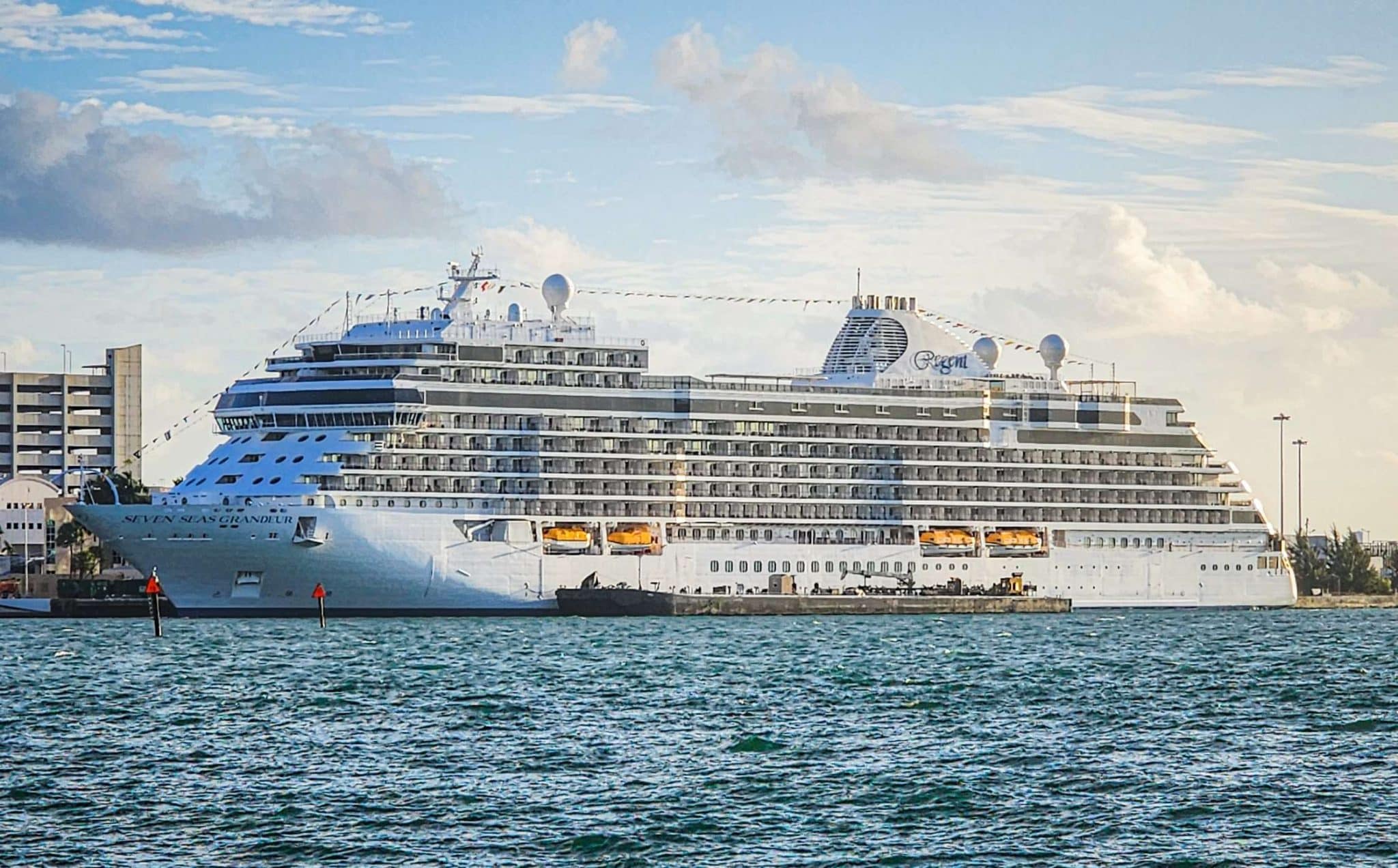
Cruising covers a wider range of environments than most trips can’t. Within a couple of weeks, it’s possible to move from humid tropical air to cold, exposed coastlines where the weather can shift by the hour. That contrast is part of the appeal, but it also changes how to approach each destination. What works in the Caribbean won’t hold up in Arctic waters. Also, the pace of travel often adjusts to the conditions.
The destinations below aren’t just different in temperature; they call for different ways of moving through them, both on land and at sea.
Navigating the Icy Wonders of Arctic Svalbard
Arriving in Longyearbyen, the main settlement in Svalbard, feels more like stepping into a working outpost than a typical cruise port. The streets are quiet, with a handful of shops and buildings set against open tundra. From the harbor, small expedition vessels head out toward Isfjorden, where the landscape quickly shifts to glaciers and steep rock faces. There aren’t roads connecting most of the archipelago, so once the ship leaves port, access is entirely by water.
Those looking to enjoy cruises to Svalbard in Norway will notice early on that this isn’t about ticking off landmarks. Routes depend heavily on ice conditions, and ships often adjust course to reach areas like Ny-Ålesund or the edge of the Hinlopen Strait. Wildlife sightings shape the experience just as much as geography. Polar bears, walruses, and seabird colonies appear without much warning, often pulling attention away from whatever route was planned that morning.
Landings usually happen via small boats on gravel beaches or near glacial fronts. There’s no infrastructure waiting on shore, just guides keeping a close watch on the surroundings. It’s not difficult to move through, but it does require paying attention. Temperatures can drop quickly, even in summer, and the light never quite fades.
Exploring the Sun-Drenched Islands of the Caribbean
In the Caribbean, everything picks up quickly once the ship docks. Ports like Philipsburg in Sint Maarten or Charlotte Amalie in St. Thomas are busy from the moment ships arrive, with streets filling up by mid-morning. In Philipsburg, Front Street runs parallel to the harbor, lined with shops, while Back Street sits just behind it with a more local feel. It’s easy to walk between both areas, and the beach is only a few minutes away.
Moving between islands changes the pace slightly. In San Juan, Old San Juan’s grid of blue cobblestone streets leads past plazas and fort walls, with most areas accessible on foot. Roads are tight, so taxis and shuttle buses stop just outside the historic center. Over in Barbados, Bridgetown connects directly to the cruise terminal, but heading toward areas like Hastings or the south coast usually means a short drive.
What stands out here is how compact everything is. You can leave the ship, walk through a market, reach a beach, and still be back on board within a few hours. Local buses run frequently on most islands, though routes aren’t always easy to follow at first. Once you get used to them, they’re often the best way to move beyond the immediate port area.
Coastal Wonders and Safari Adventures in South Africa
South African cruise routes often connect cities like Cape Town, Port Elizabeth, and Durban, each with a different layout and access to the interior. Cape Town’s harbor sits right beside the V&A Waterfront, so stepping off the ship places you directly into a developed area with clear walking routes. From there, it’s a short drive to the city center or out toward Table Mountain via Kloof Nek Road.
Further along the coast, Port Elizabeth (now Gqeberha) feels more spread out. The harbor area links to Marine Drive, which runs along the beachfront, but most inland attractions require transport. That’s where combining a cruise with a land excursion becomes more relevant. Travelers who plan a safari in South Africa often connect from coastal ports to reserves like Addo Elephant National Park, about an hour’s drive from Port Elizabeth. Once you leave the city, ocean views give way quickly to open savannah.
Durban, on the eastern coast, has a different layout. The Golden Mile stretches along the beachfront, and it’s easy to walk sections of it, but heading inland toward places like Warwick Junction or the city center requires a bit more awareness. Distances are manageable, though traffic can slow things down. Each stop works differently, so it helps to adjust expectations between ports.
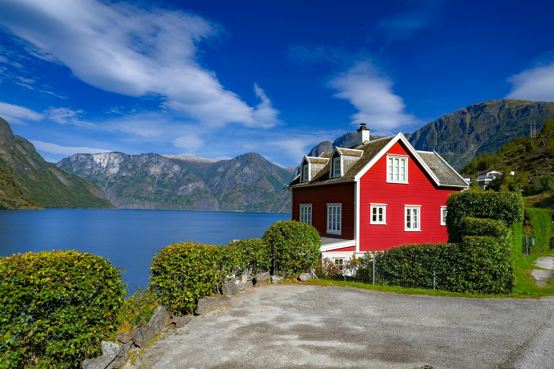
Mist-Covered Fjords and Glaciers of the Norwegian Coast
Cruising along Norway’s coastline brings a different kind of navigation. The fjords cut deep into the land, and ships often travel far inland before docking. In places like Bergen, the harbor sits beside Bryggen, the old wharf area, where narrow lanes run behind rows of wooden buildings. Walking is the easiest way to get around, and the city’s layout makes it simple to move between the harbor, the fish market, and the base of the Fløibanen funicular.
Further north, Geiranger and Flåm operate on a smaller scale. Roads wind tightly around the landscape, and viewpoints like Dalsnibba or Stegastein require buses or organized transport. There’s little flat ground, so walking routes tend to involve steep sections. Ships usually anchor in the center of these villages, so everything starts from the same point.
Weather shifts quickly along this coast. Morning fog can sit low over the water, then clear within an hour. That affects visibility more than movement, but it changes how the landscape feels from one moment to the next. Even short distances between ports can look completely different depending on conditions.
Tropical Rainforests and River Cruising in the Amazon
Cruising the Amazon works differently altogether, with ships moving along wide river channels and docking in small towns where infrastructure is limited. In Manaus, the main entry point, the port sits close to the city center, and landmarks like the Teatro Amazonas are within walking distance. Streets around the market area are busy, with vendors selling produce brought in from surrounding regions.
Further along the river, stops become less structured. Smaller communities don’t always have formal docking points, so boats anchor offshore and use tenders to reach land. Walking paths are typically unpaved, with guides leading small groups through forest areas or along riverbanks. The environment feels dense, and movement naturally slows in the heat and humidity.
Transportation here relies heavily on the river itself. Local boats pass by regularly, connecting villages with no road access. Wildlife sightings happen along the banks, but timing depends more on water levels. It’s not a place where you move quickly, but the distance covered over a few days can still be significant.
Which climate will you explore next?
Choosing between these routes usually comes down to what kind of environment feels most worth the effort right now. Some travelers are drawn to places like Svalbard or the Norwegian fjords, where conditions shape the day, and plans stay flexible. Others lean toward the Caribbean, where distances are short, and it’s easy to move between towns, beaches, and local streets.
South Africa and the Amazon sit somewhere in between, offering more contrast within a single region. One combines coastal cities with inland wildlife areas, while the other follows a river system that dictates how and where you travel. Each destination stands on its own, with its own pace and set of conditions. It’s less about comparing them and more about deciding which climate, and the way of traveling that comes with it, feels like the right fit next.